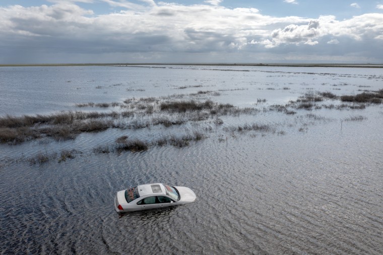
People have worked for a century to make California’s Tulare Basin into a food grower’s paradise. That pastoral landscape now looks more like the Pacific Ocean in many areas.
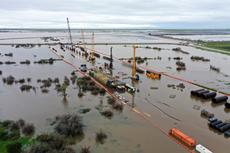
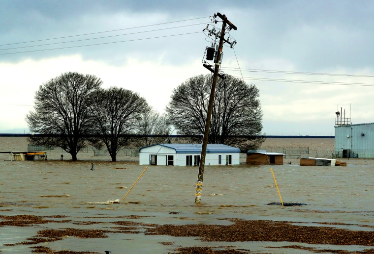
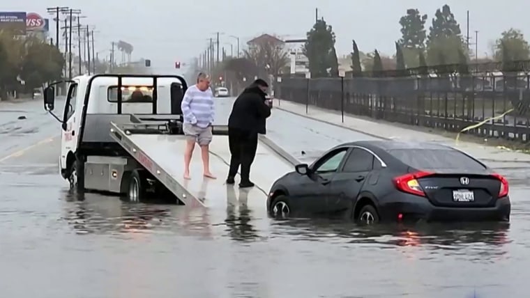
Months of atmospheric river storms have pummeled the area and saturated the basin’s soil, which sits about halfway between San Francisco and Los Angeles, not far from Fresno. The rains have led to floods that damaged towns and deluged farms and have begun to refill what was once a sprawling lake.
The floods have pitted neighboring property owners against one another and raised tensions over how to manage the flows, which have damaged hundreds of structures. And more water is on the way.
Experts say a monthslong, slow-burning crisis will play out next: A historic snowpack looms in the mountains above the basin — as it melts, it is likely to put downstream communities through months of torment. The flooding, which follows several years of extreme drought, showcases the weather whiplash typical of California, which vacillates between too wet and too dry. The influence of climate change can make the state’s extremes more intense.
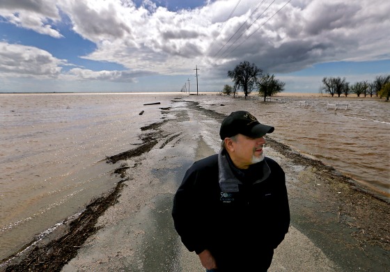
“This is a slowly unfolding natural disaster,” said Jeffrey Mount, a senior fellow at the Water Policy Center of the Public Policy Institute of California. “There’s no way to handle it with the existing infrastructure.”
The re-forming Tulare Lake — which was drained for farming a century ago — could remain on the landscape for years, disrupting growers in a region that produces a significant proportion of the nation’s supply of almonds, pistachios, milk and fruit. High-stakes decisions over where that water travels could resonate across the country’s grocery store shelves.
In the farming communities that dot the historic lake bed, accusations of sabotaged levees, frantic efforts to patch breached banks and feuds — common occurrences during flood fights in the area — have started already, said Matt Hurley, a former water manager for several water districts in the Tulare Basin.