Modern weather forecasts have never been so accurate, but they still have their limits.
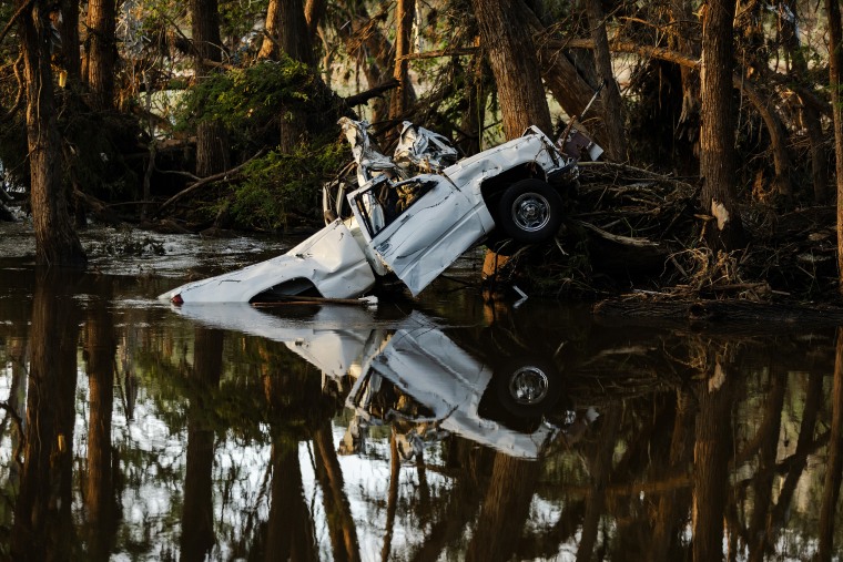
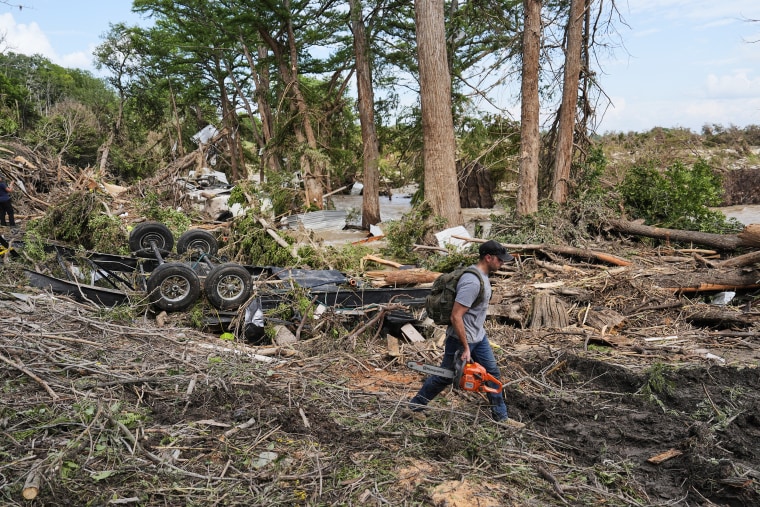
The intense rainfall that sent floodwaters coursing through central Texas last week and surprised even some Texas officials with the severity has brought into stark focus the challenge of forecasting the most severe storms and what even the best weather models can’t deliver.
“There’s an expectation a catastrophe like this is going to be able to be forecast hours or days in advance and that’s just not the case,” said Alan Gerard, a former director of the analysis and understanding branch at the National Severe Storms Laboratory of the National Oceanic and Atmospheric Administration. Models “can basically show there will be areas of intense rainfall, but they very rarely put it in the exact right spot.”
On “Here’s the Scoop,” podcast co-host Morgan Chesky takes listeners on the ground to hear from survivors of Texas’ catastrophic flooding.
Efforts to close that rift are at risk. Climate change is increasing the frequency of extreme rainfalls, making improvements to models all the more urgent. NOAA is working to improve forecasting tools to better predict rainfall intensity and precise location, but the Trump administration’s most recent budget request for the agency, which proposes to cut the budget by more than $2 billion, would shut down much of the agency’s severe storm research.
While National Weather Service forecasters had warned broadly about flash flooding in central Texas in advance, Texas state climatologist John Nielsen-Gammon said the best weather models could not predict precisely where the most intense rainfall would fall, or that the deluge would stall out over a flood-prone basin.